Wildfire intelligence for decisions
before, during and after a fire.
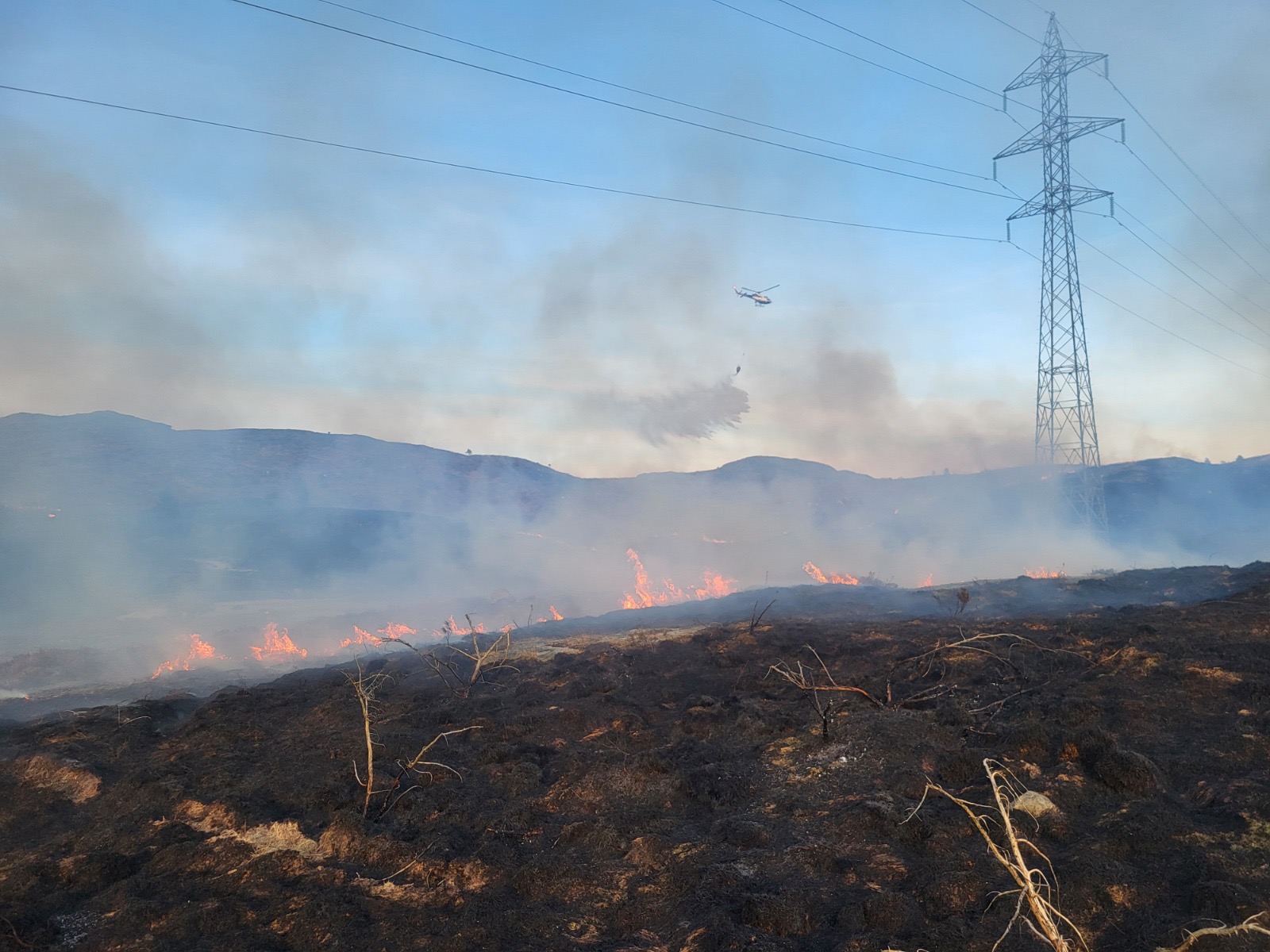
AggNor combines wildfire science, satellite imagery, weather and local knowledge to help people understand fire risk and act on it. Our developing platform supports preparedness, prioritizes mitigation, explores possible fire spread and shows what people, buildings and infrastructure may be affected.
After a fire, we use satellite imagery and case studies to evaluate what happened and create realistic training scenarios. Each stage helps inform the next decision.
One connected view
of a changing landscape.
The data exists.
The decision is still difficult.
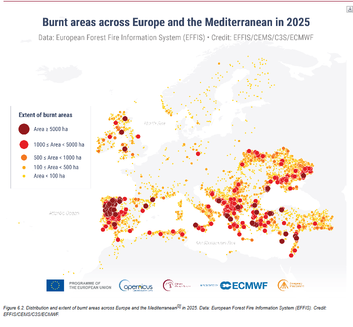
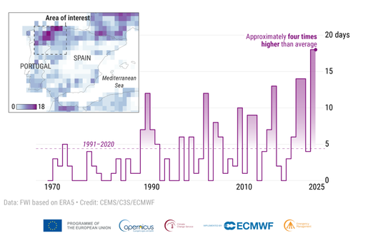
Fire danger indices, weather, satellite imagery and local asset information often sit in separate systems. Fire services, municipalities and infrastructure operators need to bring them together quickly to consider possible fire paths, exposure and where resources may be needed.
Understand the problem ↗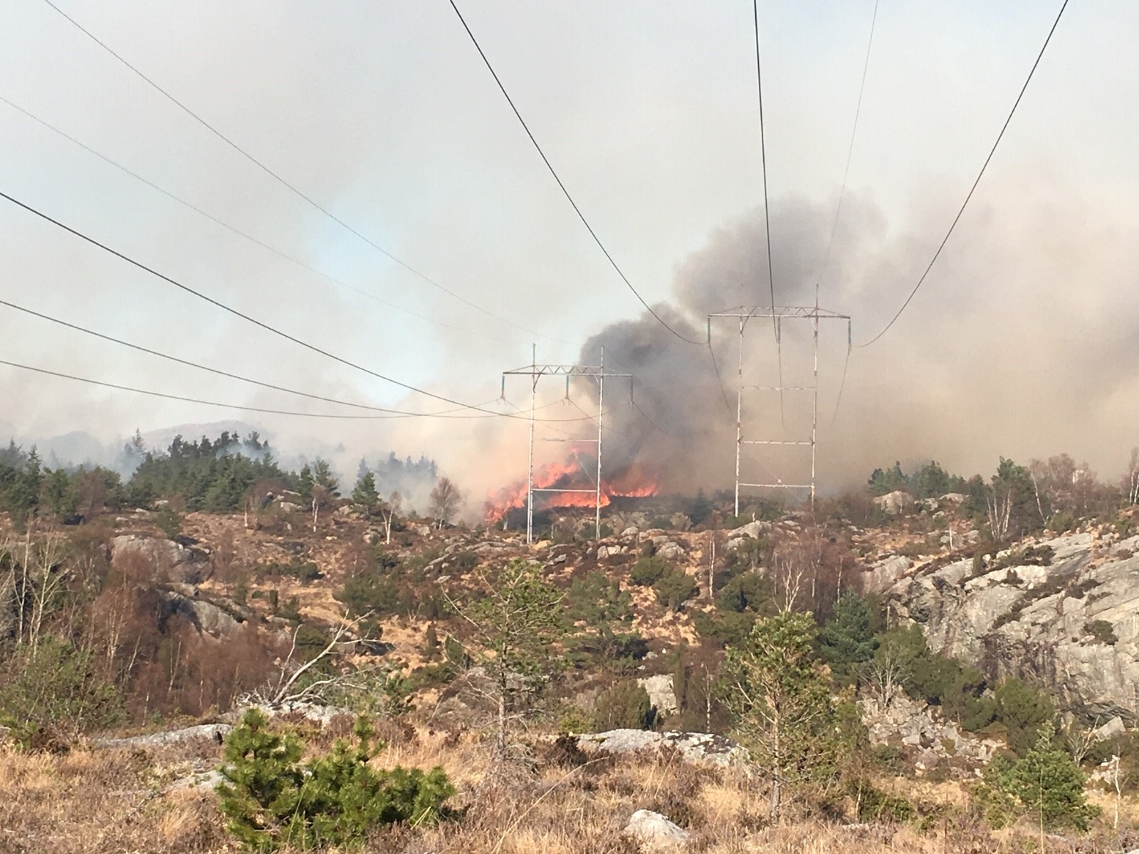
 AGGNOR PROTOTYPE / SPREAD SCENARIO
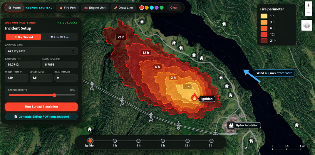
Start on the map. Explore what could follow.
Select an ignition point and examine simulated fire perimeters over time as wind and other conditions change. The next step is to connect these scenarios to homes, roads and critical facilities so local teams can compare preparedness choices.
View the prototype Wildfire training cases ↗From environmental information to a usable scenario.
- Observe
Bring together Copernicus and Sentinel information with weather, terrain and vegetation.
- Explore
Select an ignition point and examine possible fire development across time.
- Assess
Compare projected fire paths with people, buildings, routes and infrastructure.
- Prepare
Use the scenario to discuss resources, local priorities and mitigation options.
The current spread interface is a prototype; exposure and operational integration are being developed and validated with users.
Connected tools for prevention, preparedness and learning.
Dynamic hazard & risk maps
Follow changing conditions and see where fire and exposure may matter most.
↗EXPLOREFire spread scenarios
Compare possible fire paths under different weather conditions and times.
↗PREPAREPreparedness & mitigation
Prioritize action with local teams, from resources to vegetation treatment.
↗Small pilots.
A bigger picture.
We are developing the platform through a working prototype, wildfire research and feedback from operational users. Norwegian pilots will help us test decision value and adapt the approach before expanding to other European landscapes. Our long-term vision is a wildfire digital twin that learns from new observations and actions.
Start with your landscape.
Talk to us about a pilot, product demonstration, training or research collaboration.