
AGGNOR / DEMOS
Explore wildfire and landscape conditions.
Choose a demonstration to see how AggNor turns environmental information into useful local insight.
Wildfire training demo
Open interactive training cases and practice decisions around a developing fire scenario.
Open demo ↗HEATHERDRYNESSHeatherDryness demo
Open the heathland dryness demo to explore satellite indicators and landscape conditions.
Open demo ↗WILDFIRE SPREAD PROTOTYPE
Choose a point.
Explore what follows.
Our current interface demonstrates on-click ignition, weather inputs and time-based spread. Exposure and preparedness views are being developed with user feedback. This prototype is for scenario exploration, not an operational forecast.
Open wildfire training cases ↗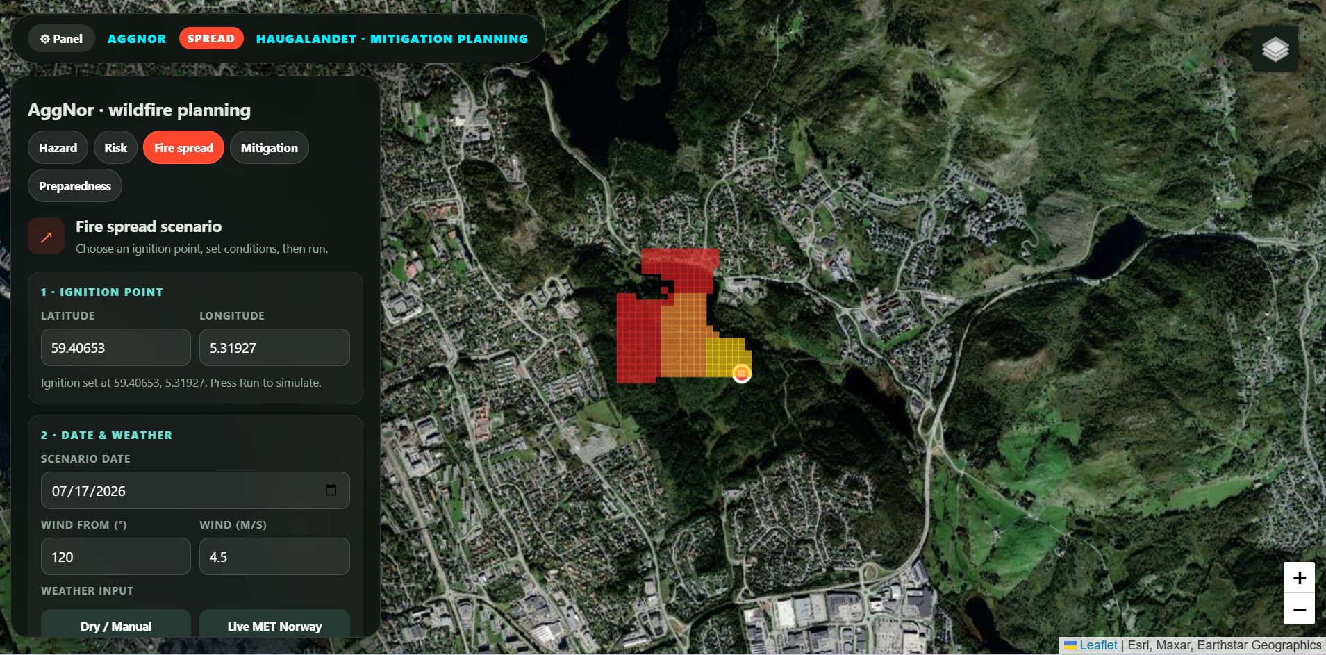
Have a place or problem in mind?Let’s talk ↗